
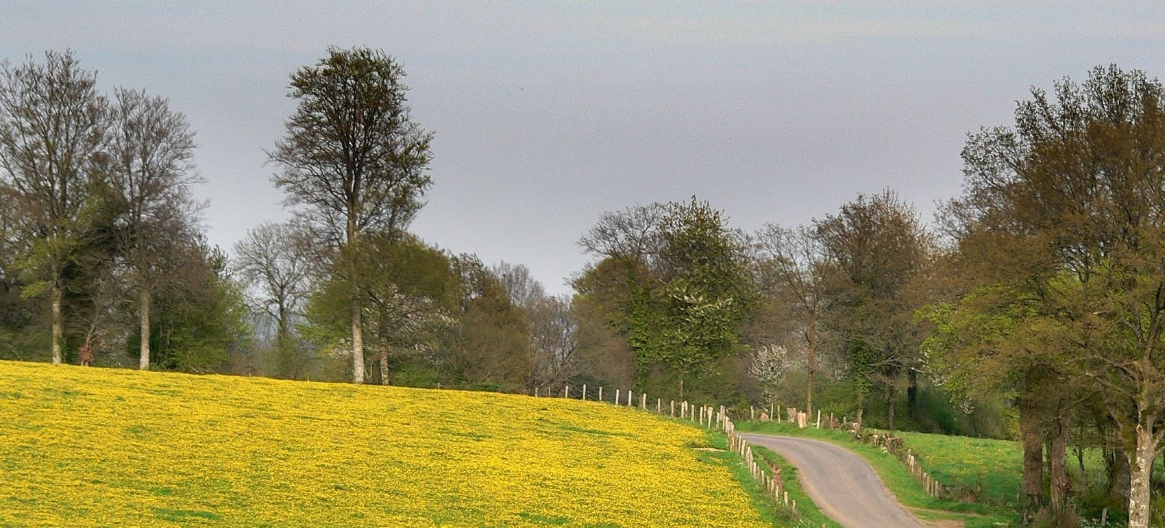
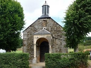
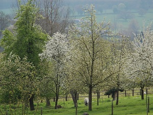
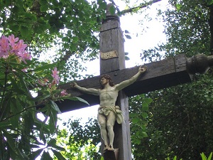
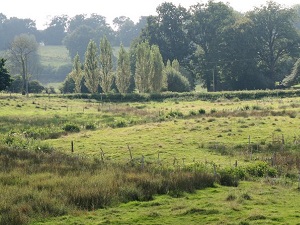
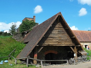
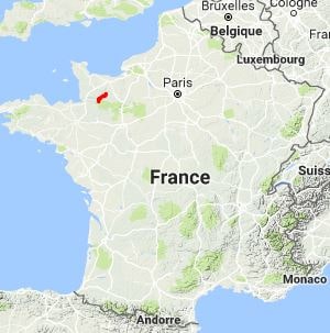
The GR®226 long-distance hiking trail traverses the unspoiled landscapes of Suisse Normande and the Bocage Virois region. The rolling geography of the Armorican Massif, with its schist ridges and steep-sided valleys, offers a surprising topography for the area. This route follows ancient sunken lanes and rural thoroughfares that once connected isolated farms to market towns. The built heritage is revealed through granite churches, stone bridges spanning small rivers, and manor houses typical of Norman architecture. Hikers will traverse hedged meadows, dense deciduous forests, and heathlands on the higher ground. Wildlife is abundant, frequently sheltering birds of prey such as the common buzzard, along with forest mammals. As you approach the English Channel, the landscape opens up to wider horizons, marking the transition to southern Manche.
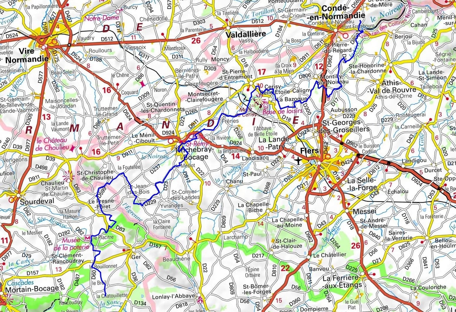
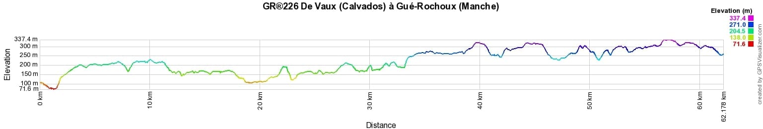
 Distance: 62.13km, Elevation maximum: 335m, Elevation minimum: 75m, Elevation gain uphill: 9975m
IGN Maps: Tinchebray (1415E). Athis-de-Orne la Suisse Normande (1514E). Conde-sur-Noireau (1514O).
Nearby paths:
![]() It is advisable to follow the beacons throughout your hike and to bring the FFRandonnée topo-guide. You will also find information on MonGR.fr.
It is advisable to follow the beacons throughout your hike and to bring the FFRandonnée topo-guide. You will also find information on MonGR.fr.
GR®, PR®, GRP®, and the corresponding signs of markings (white / red, yellow and yellow / red) are trademarks of the French Federation of Hiking. They may not be reproduced without permission. The French Federation of Hiking, state-approved, includes organizations that create and maintain hiking routes on GR®, PR® and GRP®. It publishes guides for these topo hiking routes. With your donations, you support the actions of the thousands of FFRandonnée volunteer markers.
GR-Infos.com is an editorial partner of MonGR.fr.
| Return |

Former holiday hotel with a garden along the Allier, L'Etoile Guest House is located in La Bastide-Puylaurent between Lozere, Ardeche, and the Cevennes in the mountains of Southern France. At the crossroads of GR®7, GR®70 Stevenson Path, GR®72, GR®700 Regordane Way, GR®470 Allier River springs and gorges, GRP® Cevenol, Ardechoise Mountains, Margeride. Numerous loop trails for hiking and one-day biking excursions. Ideal for a relaxing and hiking getaway.
Copyright©gr-infos.com (Authorization for private use only)
To help us maintain and improve GR-Infos.com, a contribution of 2€ is desired via Wero or bank transfer. Thank you!