
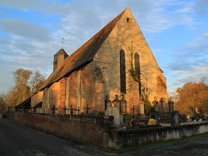
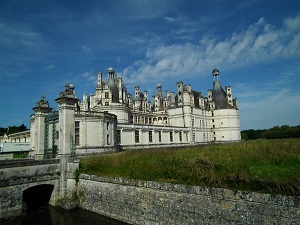
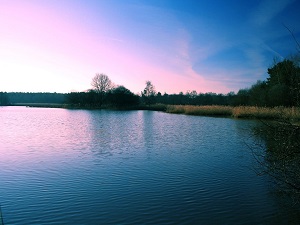
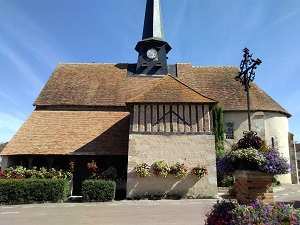
Starting in Lamotte-Beuvron, the trail passes through villages of red brick and half-timbered houses, such as La Ferté-Beauharnais and Villeny, where traditional architecture blends seamlessly into the landscapes of moors and ponds. The heritage highlight is reached at Chambord, whose Renaissance château appears like a mirage in the middle of a unique, enclosed forest estate. Following the Cosson River towards Ligny-le-Ribault, hikers discover unspoiled nature, a refuge for deer and grey herons in the heart of wetlands. The route then reaches the Cher River at Aubigny-sur-Nère, the town of the Stuarts, bearing witness to the deep historical ties between France and Scotland through its half-timbered houses. At Sainte-Montaine or Souesmes, the atmosphere becomes wilder, amidst Scots pines and purple heather, offering total immersion in this land of hunting and legends.

The forests of Sologne are an essential element of the Sologne landscape. They cover around three quarters of the region, or around 500,000 hectares. Sologne is a region rich in biodiversity. It is made up of forests of oaks, pine, and chestnut trees. It is also home to many animal species, including deer, wild boar, roe deer, pheasant, and duck. Sologne was occupied by the Gauls, the Romans, and the Franks. In the Middle Ages, Sologne was a royal hunting region.
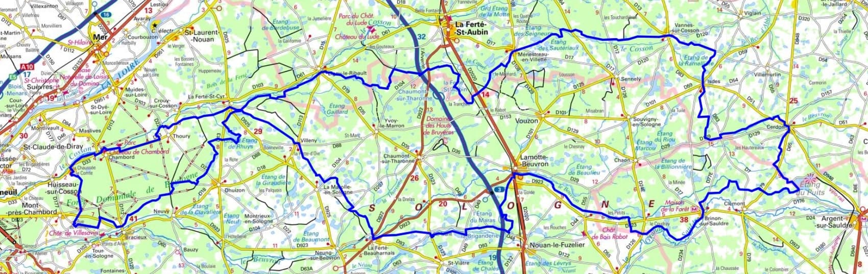
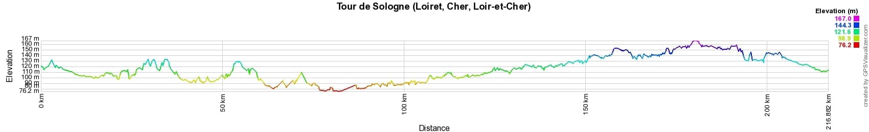
 Distance: 310km, Maximum elevation: 204m, Minimum elevation: 75m, Total ascent: 677m
Nearby paths:
![]() It is advisable to follow the beacons all along your hike and to bring the FFRandonnée topo-guide. You will also find information on MonGR.fr.
It is advisable to follow the beacons all along your hike and to bring the FFRandonnée topo-guide. You will also find information on MonGR.fr.
GR®, PR®, GRP® and the corresponding markings are trademarks of the French Federation of Hiking. They may not be reproduced without permission. The French Federation of Hiking, state-approved, includes organizations that maintain hiking routes. It publishes guides for these routes. With your donations, support the actions of the thousands of volunteer markers of the FFRandonnée.
GR-Infos.com is an editorial partner of MonGR.fr.
| Return |

Former holiday hotel with a garden along the Allier, L'Etoile Guest House is located in La Bastide-Puylaurent between Lozere, Ardeche, and the Cevennes in the mountains of Southern France. At the crossroads of GR®7, GR®70 Stevenson Path, GR®72, GR®700 Regordane Way, GR®470 Allier River springs and gorges, GRP® Cevenol, Ardechoise Mountains, Margeride. Numerous loop trails for hiking and one-day biking excursions. Ideal for a relaxing and hiking getaway.
Copyright©gr-infos.com (Authorization for private use only)
To help us maintain and improve GR-Infos.com, a contribution of 2€ is desired via Wero or bank transfer. Thank you!