
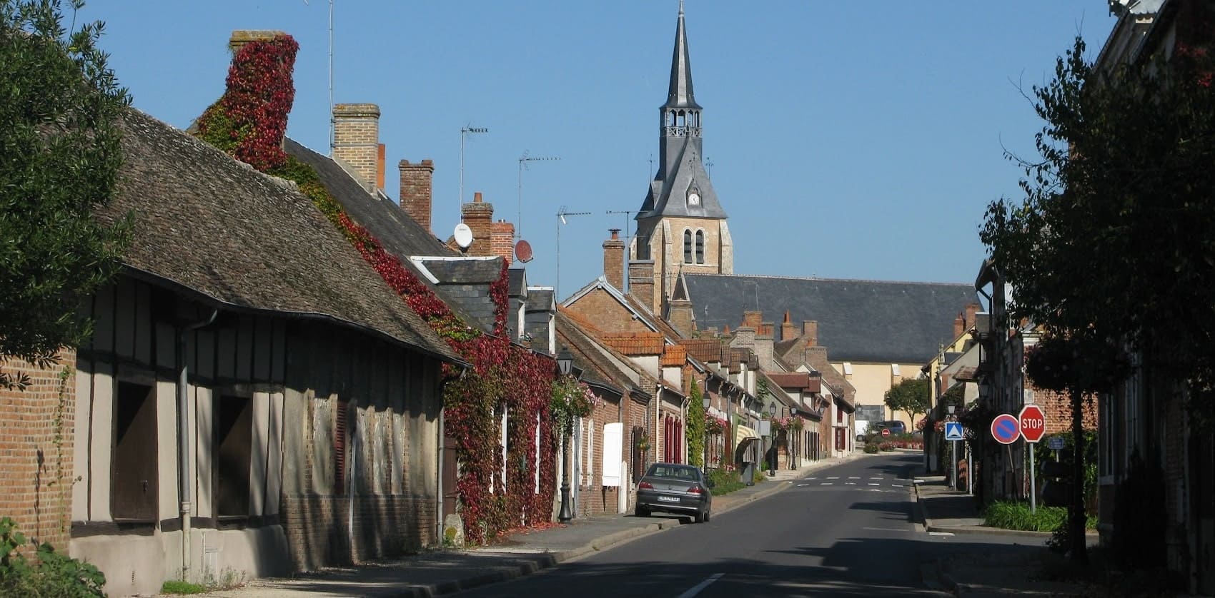
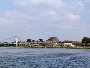
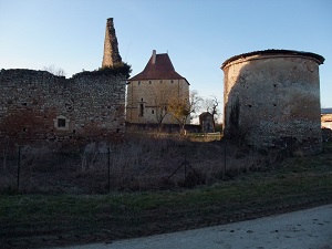
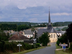
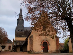
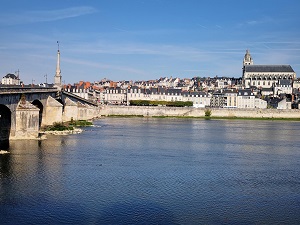
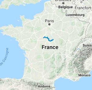
The GR®31 crosses the Sologne region from east to west, starting in Cosne-Cours-sur-Loire and ending in Blois, the royal city on the banks of the Loire. This itinerary is an exploration of a mysterious region, characterized by its thousands of misty ponds, heather moors, and dense forests of birch and pine. It is an exceptional sanctuary for wildlife, particularly for large game such as red deer and wild boar, as well as a multitude of migratory birds. The built heritage consists of red brick houses and numerous secluded castles. The trail offers a peaceful, flat hike, deeply rooted in hunting and forestry traditions, concluding majestically in the Loire Valley.
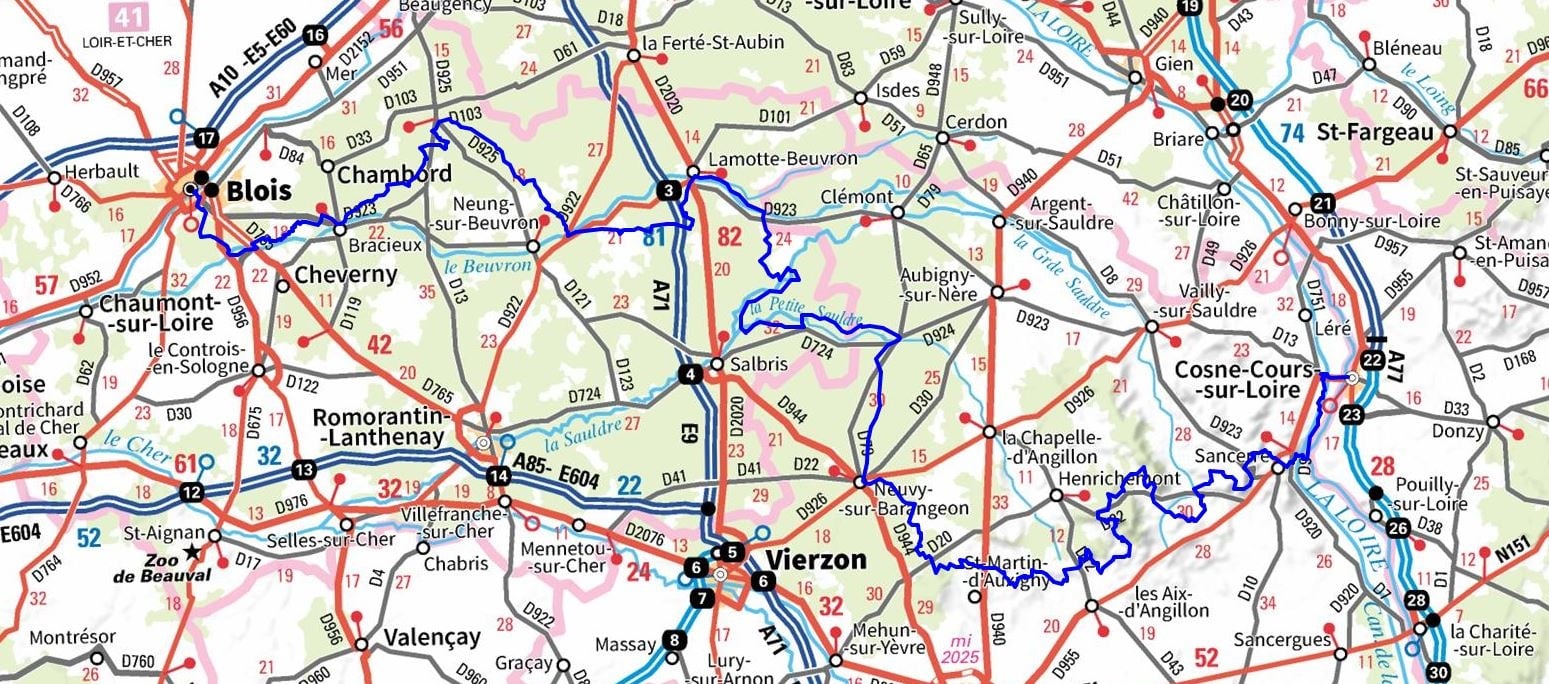
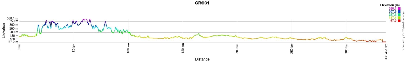
 Distance: 300km, Elevation maximum: 386m, Elevation minimum: 70m, Elevation gain uphill: 2471m
IGN Maps: Neung-sur-Beuvron (2322E). Salbris (2222E). Romorantin-Lanthenay (2223E). La Sologne Romorantin-Lanthenay (2223OT).
Nearby paths:
![]() It is advisable to follow the beacons all along your hike and to bring the FFRandonnee topo-guide. You will also find information on MonGR.fr.
It is advisable to follow the beacons all along your hike and to bring the FFRandonnee topo-guide. You will also find information on MonGR.fr.
GR®, PR®, GRP®, and the corresponding signs of markings (white/red, yellow and yellow/red) are trademarks of the French Federation of Hiking. They may not be reproduced without permission. The French Federation of Hiking, state-approved, includes organizations that create and maintain hiking routes on GR®, PR® and GRP®. It publishes guides for these topo hiking routes. With your donations, support the actions of the thousands of volunteer markers of the FFRandonnee.
GR-Infos.com is an editorial partner of MonGR.fr.
| Return |

Former holiday hotel with a garden along the Allier, L'Etoile Guest House is located in La Bastide-Puylaurent between Lozere, Ardeche, and the Cevennes in the mountains of Southern France. At the crossroads of GR®7, GR®70 Stevenson Path, GR®72, GR®700 Regordane Way, GR®470 Allier River springs and gorges, GRP® Cevenol, Ardechoise Mountains, Margeride. Numerous loop trails for hiking and one-day biking excursions. Ideal for a relaxing and hiking getaway.
Copyright©gr-infos.com (Authorization for private use only)
To help us maintain and improve GR-Infos.com, a contribution of 2€ is desired via Wero or bank transfer. Thank you!