
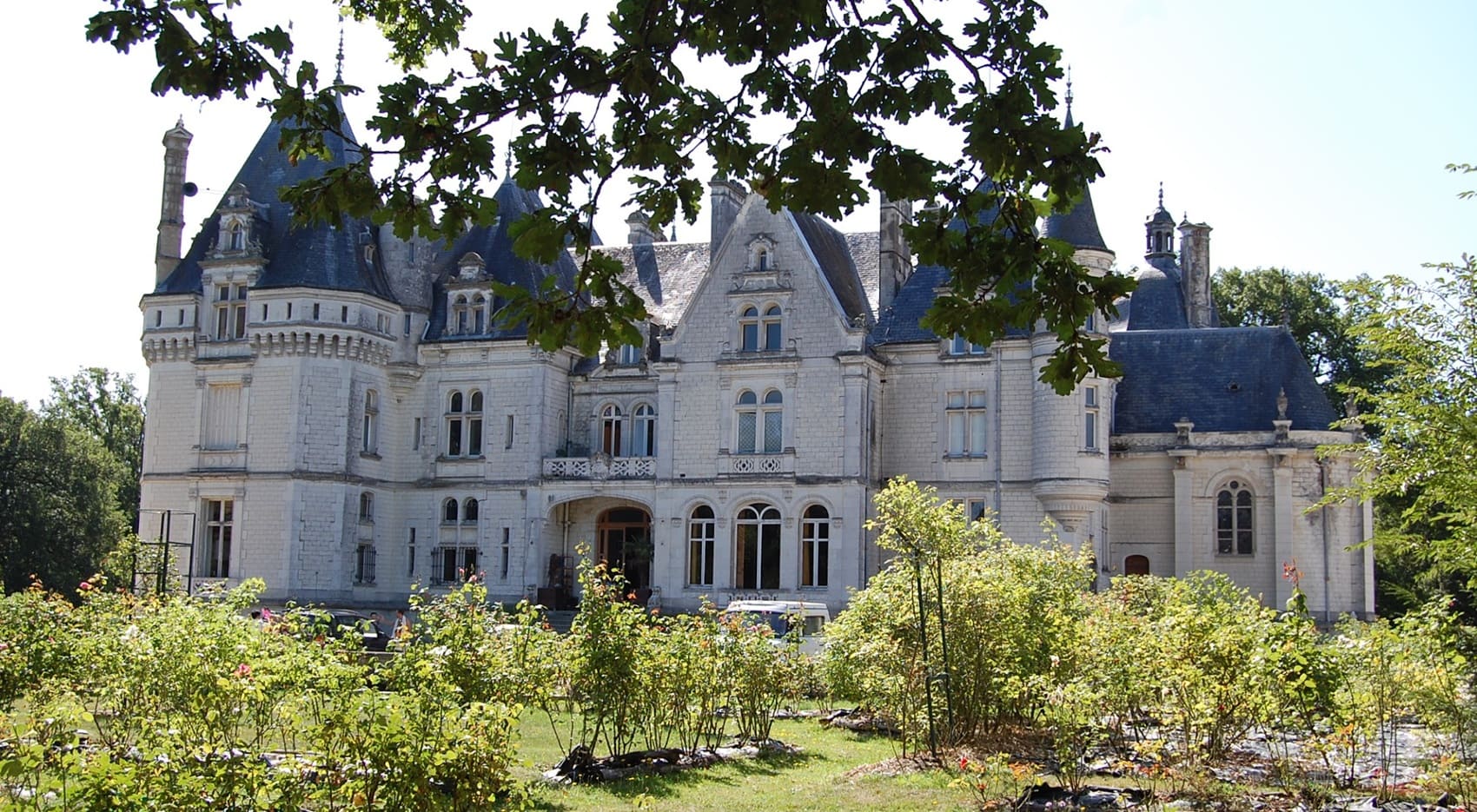
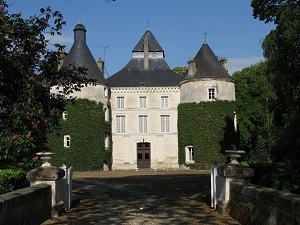
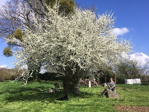
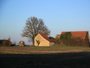
In the heart of Berry, hiking around the Ecueillé region offers an immersion in an authentic countryside where time seems to stand still. The route begins in Luçay-le-Mâle, marked by its castle and the history of the Blanc-Argent railway, before reaching Moulins-sur-Céphons and its medieval motte-and-bailey castle. The path winds between fields of grain and the groves typical of northern Boischaut, passing through the peaceful villages of Saint-Martin and Saint-Pierre-de-Lamps. In Pellevoisin, spiritual heritage takes center stage with its famous sanctuary, an important pilgrimage site in the Indre department. Nature truly comes alive near Heugnes, where hedged lanes reveal discreet wildlife and unspoiled flora.
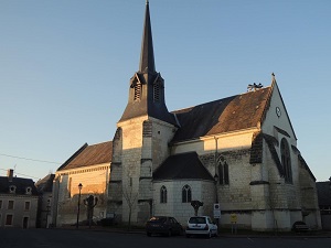
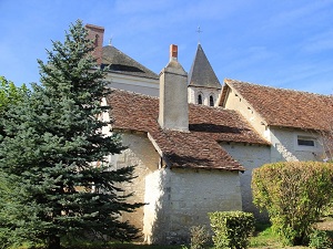
The Pays d'Écueillé is a small natural and historical region located in the northwest of the Indre department, within the Centre-Val de Loire region, centered around the commune of Écueillé. Geographically, this territory lies at the crossroads of several natural regions, marking the transition between Berrichonne (the Brenne region) and southern Touraine. The landscape is primarily made up of low plateaus covered with farmland and woodlands. Historically, the Pays d'Écueillé, due to its crossroads position, has played a local role, preserving a modest yet charming heritage, including typical small Romanesque churches of Berry. Today, it is a rural area focused on agriculture and green tourism centered on tranquility and the exploration of local heritage, traversed by the old railway linking Tours to Chateauroux.
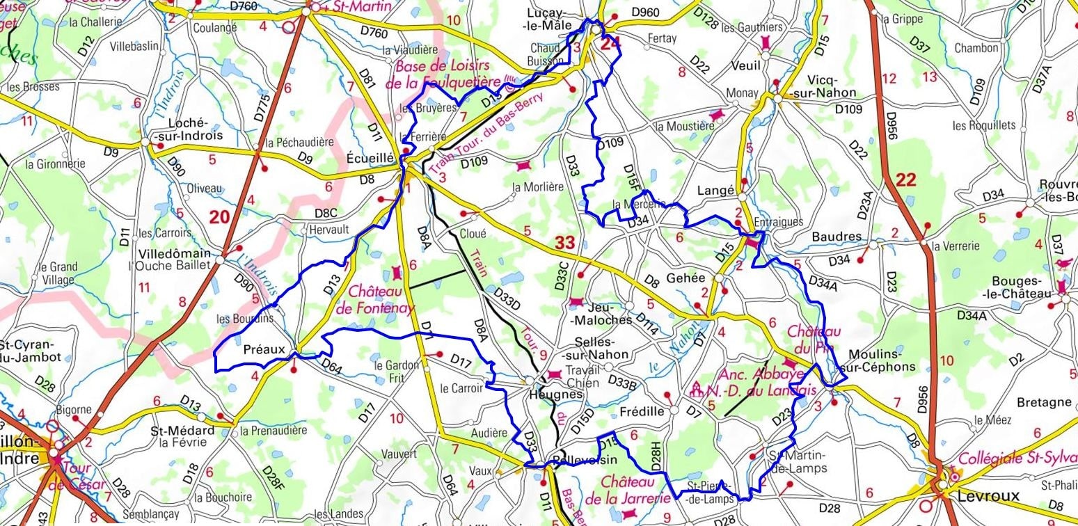
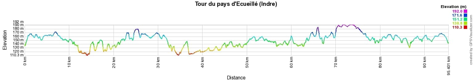
 Distance: 81km, Elevation maximum: 189m, Elevation minimum: 110m, Elevation gain uphill: 560m
IGN Maps: 2024SB - CHATILLON-SUR-INDRE / ÉCUEILLÉ. 2025SB - BUZANÇAIS / MÉZIÈRES-EN-BRENNE. 2124SB - LUÇAY-LE-MÂLE / POULAINES. 2125SB - CHÂTEAUROUX / LEVROUX / VILLEDIEU-SUR-INDRE.

Nearby paths:
![]() It is advisable to follow the trail markers all along your hike and to bring the FFRandonnée topo-guide. You will also find information on MonGR.fr.
It is advisable to follow the trail markers all along your hike and to bring the FFRandonnée topo-guide. You will also find information on MonGR.fr.
GR®, PR®, GRP® and the corresponding markings are trademarks of the French Federation of Hiking. They may not be reproduced without permission. The French Federation of Hiking, state-approved, includes organizations that maintain hiking routes. It publishes guides for these routes. With your donations, support the actions of the thousands of volunteer markers of the FFRandonnée.
GR-Infos.com is an editorial partner of MonGR.fr.
| Return |

Former holiday hotel with a garden along the Allier, L'Etoile Guest House is located in La Bastide-Puylaurent between Lozere, Ardeche, and the Cevennes in the mountains of Southern France. At the crossroads of GR®7, GR®70 Stevenson Path, GR®72, GR®700 Regordane Way, GR®470 Allier River springs and gorges, GRP® Cevenol, Ardechoise Mountains, Margeride. Numerous loop trails for hiking and one-day biking excursions. Ideal for a relaxing and hiking getaway.
Copyright©gr-infos.com (Authorization for private use only)
To help us maintain and improve GR-Infos.com, a contribution of 2€ is desired via Wero or bank transfer. Thank you!