
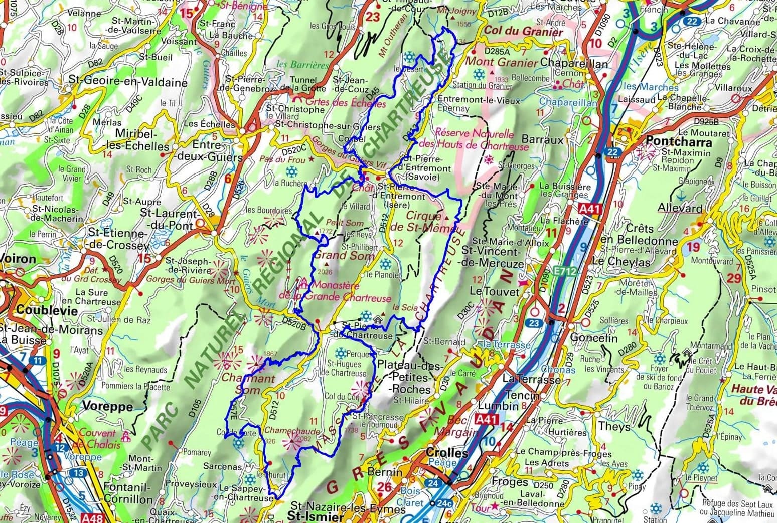
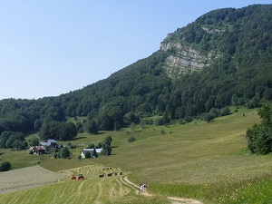
Starting from Le Sappey-en-Chartreuse, this loop trail immerses you in the "emerald massif" with the ascent of the Col de Porte. The path then plunges into monastic history at the Porte de l'Enclos, leading to the tranquility of the Grande Chartreuse Museum, a testament to a thousand years of Carthusian life. Via the Col de la Ruchère, the landscape opens up to the schist villages of Saint-Pierre-d'Entremont, on the border between Savoy and Dauphiné. After passing through Corbel, the route reaches the majestic Cirque de Saint-Même and its cascading waterfalls. The itinerary then climbs towards the Hauts de Chartreuse Nature Reserve, a sanctuary of biodiversity where ibex and orchids reign over the limestone pavements. The return journey begins at the Col de la Saulce, before the final climb to the Col des Ayes and Col du Coq, at the foot of the cliffs of the Dent de Crolles.
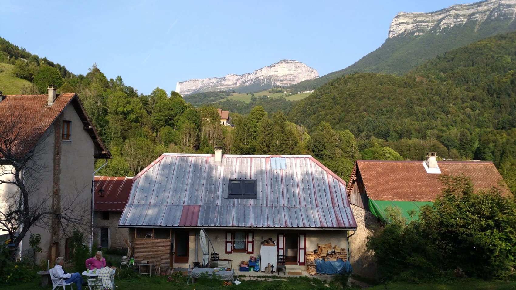
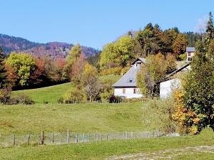
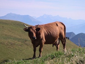
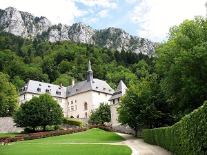
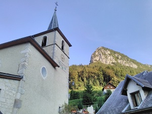
The Chartreuse massif, a limestone fortress rising between Isère and Savoie, is a sanctuary of silence and dramatic landscapes. Its history is inextricably linked to the Carthusian order of monks who, since the 11th century, have shaped this wild territory around their renowned Grande Chartreuse Monastery. The built heritage, from typical barns to mountain churches, blends harmoniously into the unspoiled natural environment, protected by a Regional Natural Park. The landscapes are spectacular, marked by sheer cliffs like Mont Granier and iconic peaks such as Chamechaude. Biodiversity reigns supreme, with vast spruce and beech forests sheltering chamois and deer under the watchful eyes of golden eagles. This massif offers a unique duality between the starkness of its rocky faces and the gentle beauty of its verdant alpine pastures.
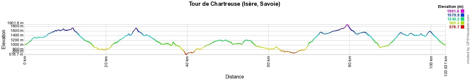
 Distance: 107km, Elevation maximum: 1903m, Elevation minimum: 578m, Elevation gain uphill: 6504m
IGN Maps: 3333OT - MASSIF DE LA CHARTREUSE NORD. 3334OT - MASSIF DE LA CHARTREUSE SUD / SAINT-PIERRE-DE-CHARTREUSE / VILLARD-BONNOT.
Nearby paths:
![]() It is advisable to follow the beacons all along your hike and to bring the FFRandonnée topo-guide. You will also find information on MonGR.fr.
It is advisable to follow the beacons all along your hike and to bring the FFRandonnée topo-guide. You will also find information on MonGR.fr.
GR®, PR®, GRP® and the corresponding markings are trademarks of the French Federation of Hiking. They may not be reproduced without permission. The French Federation of Hiking, state-approved, includes organizations that maintain hiking routes. It publishes guides for these routes. With your donations, support the actions of the thousands of volunteer markers of the FFRandonnée.
GR-Infos.com is an editorial partner of MonGR.fr.
| Return |

Former holiday hotel with a garden along the Allier, L'Etoile Guest House is located in La Bastide-Puylaurent between Lozere, Ardeche, and the Cevennes in the mountains of Southern France. At the crossroads of GR®7, GR®70 Stevenson Path, GR®72, GR®700 Regordane Way, GR®470 Allier River springs and gorges, GRP® Cevenol, Ardechoise Mountains, Margeride. Numerous loop trails for hiking and one-day biking excursions. Ideal for a relaxing and hiking getaway.
Copyright©gr-infos.com (Authorization for private use only)
To help us maintain and improve GR-Infos.com, a contribution of 2€ is desired via Wero or bank transfer. Thank you!