
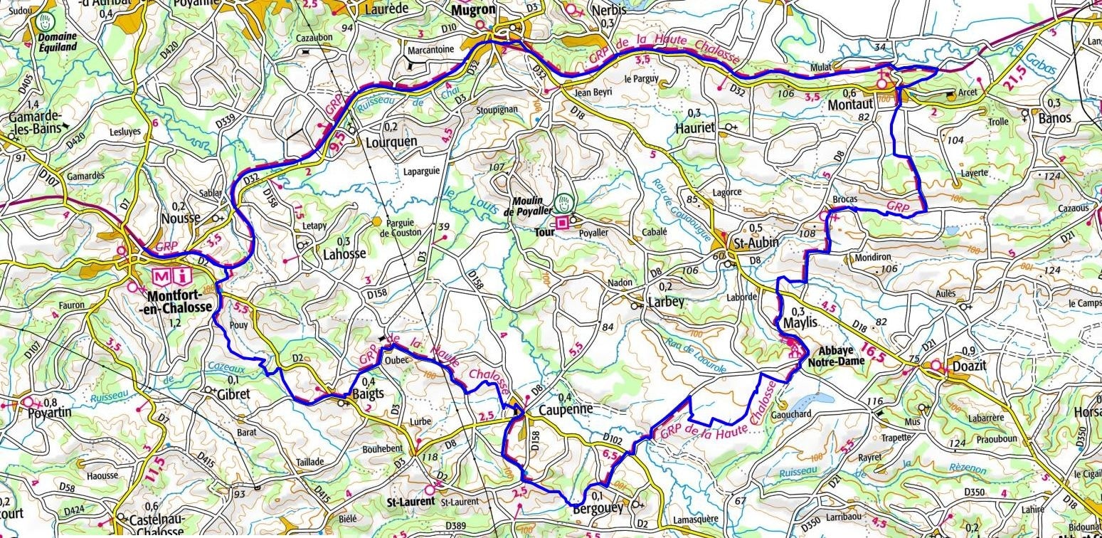
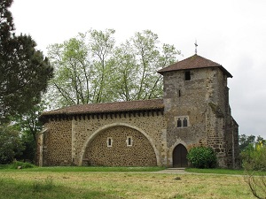
From Montfort-en-Chalosse, a medieval fortified town, the trail winds its way towards Lourquen and Mugron, nicknamed the "belvedere of the Adour," where the history of river trade is still evident in the architecture of the manor houses. Passing through Montaut and Brocas, the landscape reveals a mosaic of clay-limestone hillsides and oak forests, a far cry from the vast, monotonous pine forests of the coast. A stop in Maylis reveals its Benedictine abbey. The route continues towards Bergouey and Caupenne, unveiling an authentic rural heritage of Romanesque churches and traditional Landes farmhouses. Between Baigts and the Adour wetlands, hikers encounter rich biodiversity, where birds of prey soar above the cornfields and vineyards of Tursan. This circuit is an immersion into a hidden Gascony, where each village tells the story of a different era, from feudalism to pastoralism.
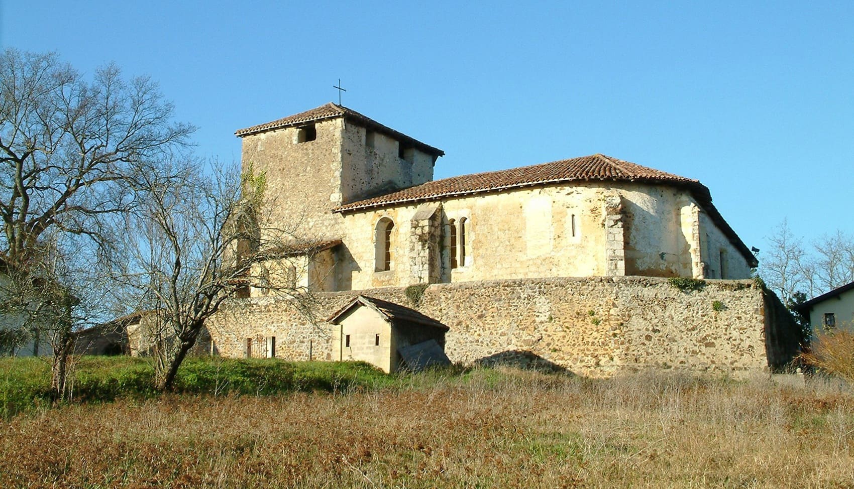
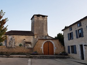
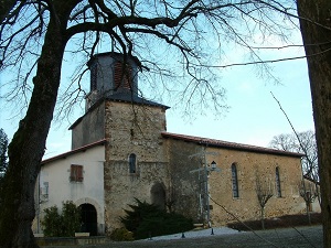
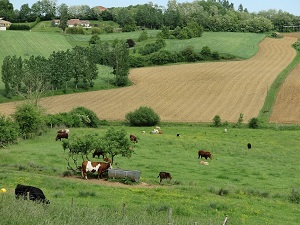
The Haute Chalosse, the beating heart of the inland Landes region, unfolds across a landscape of gentle hills and verdant valleys where the Adour River meanders. This idyllic land is steeped in history, marked by prehistoric times in Bramepouy and by superb Romanesque churches nestled in charming villages like Saint-Sever, famous for its abbey. The built heritage is abundant, with its limestone manor houses and traditional farms surrounded by fields of corn and vineyards. Nature here is a mosaic of oak woods and wetlands, offering preserved biodiversity ideal for observing migratory birds. Gastronomy, a cornerstone of local identity, celebrates farm-raised duck and Chalosse beef, reflecting a high-quality agriculture that has remained on a human scale.
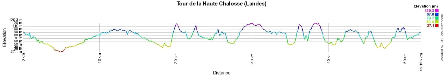
 Distance: 54km, Elevation maximum: 120m, Elevation minimum: 27m, Elevation gain uphill: 614m
IGN Maps: Tartas - 1442E. Amou Montfort-en-Chalosse - 1443E. Saint-Sever (Landes) - 1542O. Hagetmau - 1543O.

Nearby paths:
![]() It is advisable to follow the beacons all along your hike and to bring the FFRandonnée topo-guide. You will also find information on MonGR.fr.
It is advisable to follow the beacons all along your hike and to bring the FFRandonnée topo-guide. You will also find information on MonGR.fr.
GR®, PR®, GRP® and the corresponding markings are trademarks of the French Federation of Hiking. They may not be reproduced without permission. The French Federation of Hiking, state-approved, includes organizations that maintain hiking routes. It publishes guides for these routes. With your donations, support the actions of the thousands of volunteer markers of the FFRandonnée.
GR-Infos.com is an editorial partner of MonGR.fr.
| Return |

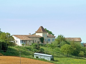
Former holiday hotel with a garden along the Allier, L'Etoile Guest House is located in La Bastide-Puylaurent between Lozere, Ardeche, and the Cevennes in the mountains of Southern France. At the crossroads of GR®7, GR®70 Stevenson Path, GR®72, GR®700 Regordane Way, GR®470 Allier River springs and gorges, GRP® Cevenol, Ardechoise Mountains, Margeride. Numerous loop trails for hiking and one-day biking excursions. Ideal for a relaxing and hiking getaway.
Copyright©gr-infos.com (Authorization for private use only)
To help us maintain and improve GR-Infos.com, a contribution of 2€ is desired via Wero or bank transfer. Thank you!