
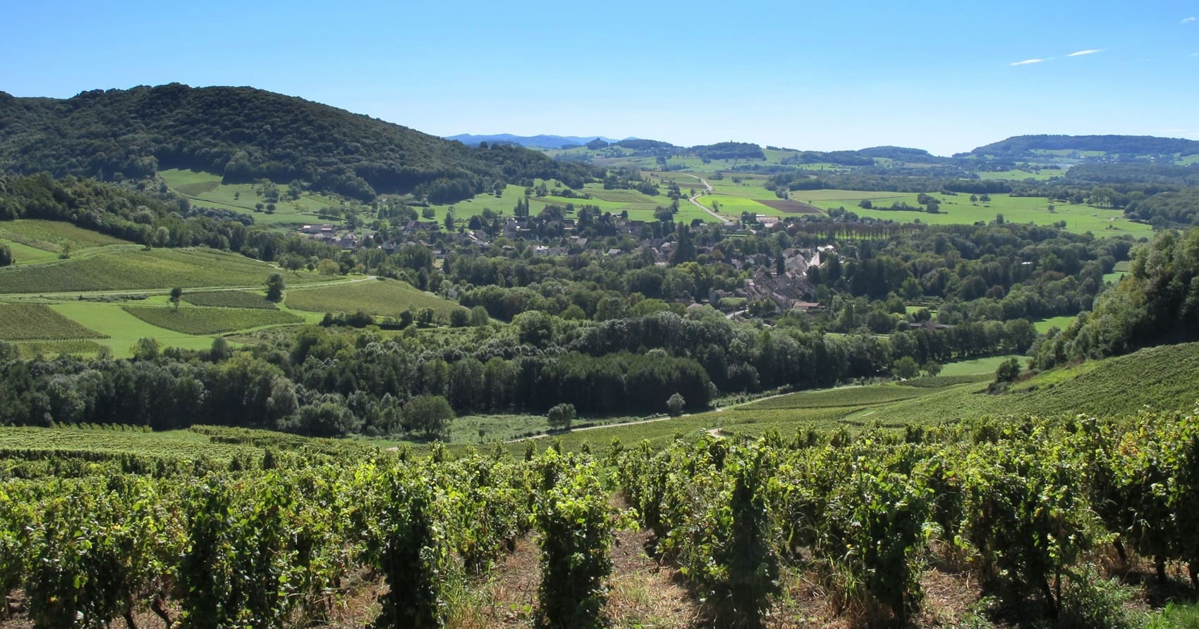
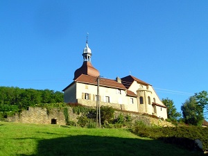
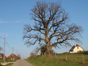
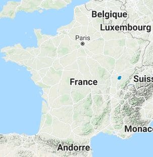
Starting from Toulouse-le-Château, this loop reveals a much lesser-known side of the Jura region, where the terrain gently softens to reveal a stunning mosaic of deep woods and tranquil ponds. The trail first passes through Saint-Lothain, rich in a thousand-year-old heritage closely linked to its striking Romanesque church, before winding its way through vibrant vineyards and lush orchards towards Passenans. Venturing out into the broad Bresse plain, hikers easily discover the traditional, picturesque half-timbered houses of Chardonnay and Chaumergy. The route then intimately follows the serene wetlands and hedged meadows around Biefmorin and Oussières, which serve as true havens for discreet and wild birdlife. Heading steadily back up through Montholier and Brainans, the landscape seamlessly transforms into an alternation of mature oak forests and fertile farmland, highly typical of the lower Jura region. Finally, the villages of Bersaillin and Monay, with their elegant castles and old stones, proudly bear witness to a rural nobility that is firmly rooted in regional history.
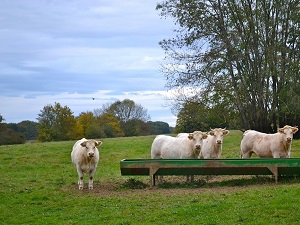
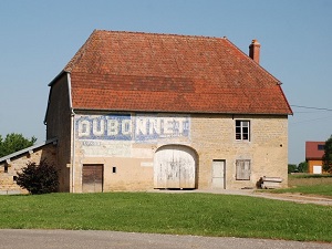
Bresse Comtoise, a true hidden gem of the Jura department, beautifully unfolds its landscapes of intricately hedged fields and dense forests between the Doubs River and the initial foothills of the towering Jura Mountains. This region is distinguished by its unique rural architecture: its robust farmhouses, often featuring distinct Saracen-style chimneys with their brick finials artfully sculpted into the roof, bear witness to an ancestral know-how intimately linked to the central hearth. Nature here is remarkably gentle and inviting, pleasantly punctuated by a multitude of still ponds and wet meadows where diverse migratory birds and the famous Bresse chicken thrive. The area's historical heritage is perfectly embodied in charming villages like Bletterans and Chaumergy, where classic half-timbered houses and striking red brick eloquently tell the story of an economy deeply tied to the land and local clay. Furthermore, local history is also that of a significant border region, situated precisely between the former province of Franche-Comté and the historic Kingdom of France.
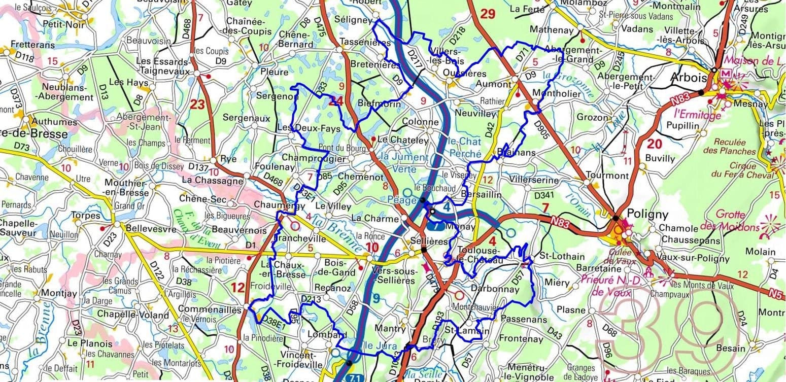
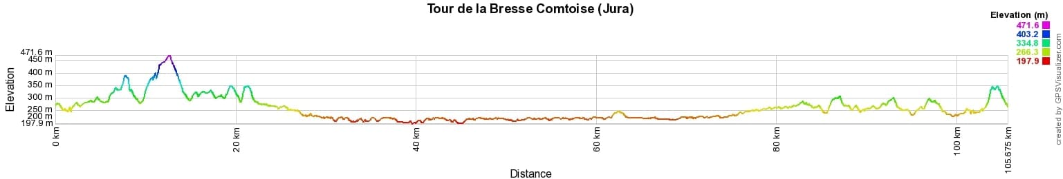
 Distance: 105km, Elevation maximum: 472m, Elevation minimum: 198m, Elevation gain uphill: 1060m
IGN Maps: 3225SB - POLIGNY / CHAUSSIN. 3226ET - LONS-LE-SAUNIER / POLIGNY / RECULEE DE BAUME.
Nearby paths:
![]() It is advisable to follow the beacons all along your hike and to bring the FFRandonnée topo-guide. You will also find information on MonGR.fr.
It is advisable to follow the beacons all along your hike and to bring the FFRandonnée topo-guide. You will also find information on MonGR.fr.
GR®, PR®, GRP® and the corresponding markings are trademarks of the French Federation of Hiking. They may not be reproduced without permission. The French Federation of Hiking, state-approved, includes organizations that maintain hiking routes. It publishes guides for these routes. With your donations, support the actions of the thousands of volunteer markers of the FFRandonnée.
GR-Infos.com is an editorial partner of MonGR.fr.
| Return |

Former holiday hotel with a garden along the Allier, L'Etoile Guest House is located in La Bastide-Puylaurent between Lozere, Ardeche, and the Cevennes in the mountains of Southern France. At the crossroads of GR®7, GR®70 Stevenson Path, GR®72, GR®700 Regordane Way, GR®470 Allier River springs and gorges, GRP® Cevenol, Ardechoise Mountains, Margeride. Numerous loop trails for hiking and one-day biking excursions. Ideal for a relaxing and hiking getaway.
Copyright©gr-infos.com (Authorization for private use only)
To help us maintain and improve GR-Infos.com, a contribution of 2€ is desired via Wero or bank transfer. Thank you!