
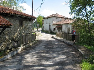
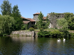
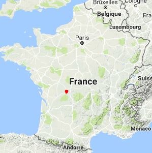
Starting from the quaint village of Blond, the trail quickly plunges into the Monts de Blond, a deeply mysterious massif dotted with impressive rocky outcrops and steeped in ancient Druidic legends. Passing through Maillofray and Les Forêts, hikers walk beneath a lush canopy of ancient chestnut and oak trees, where nature truly reigns supreme. The route then branches off towards Oradour-sur-Glane, serving as a poignant, silent memorial to the tragic history of the 20th century. The path continues steadily through the bocage countryside towards Javerdat and Arnac, offering rolling, idyllic landscapes where verdant meadows seamlessly alternate with small, babbling streams. The climb to Montrocher provides a commanding, breathtaking view of the surrounding hills before reaching Mortemart, rightfully listed among the most beautiful villages in France due to its imposing castle and historic medieval convent. Finally, the return to Blond via Villerajouze takes you through typical dry-stone hamlets, serving as enduring testaments to a well-preserved rural architecture.
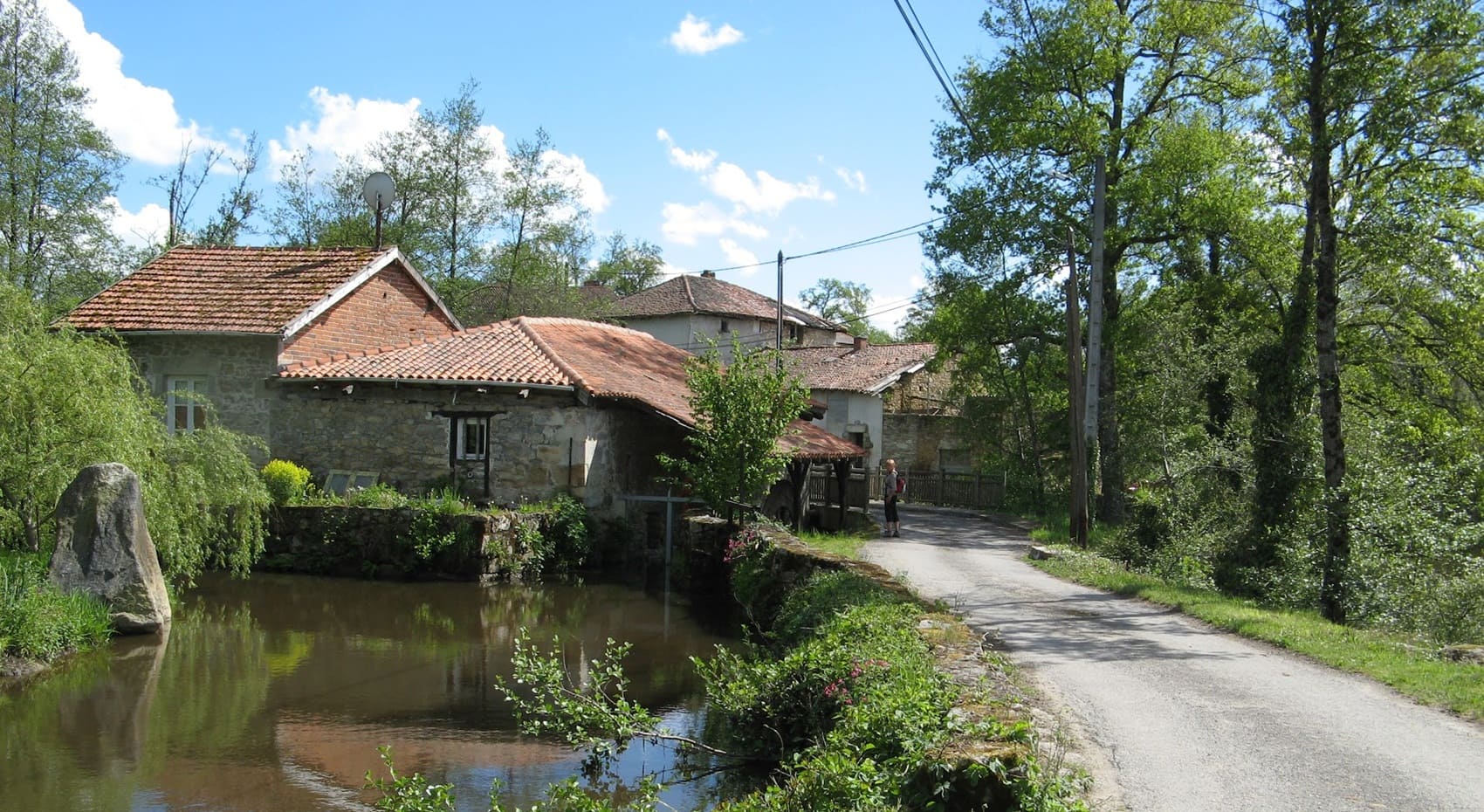
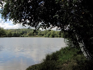
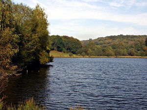
The Monts de Blond, situated as the westernmost foothills of the Massif Central in Haute-Vienne, form a fascinating granite archipelago heavily steeped in mystery and legend. This brilliantly unspoiled massif is distinguished by its sweeping landscapes of open moors, ancient peat bogs, and deep, enchanting forests where enormous rock formations with evocative names emerge—such as the Rocher des Fées (Fairy Rock) and the Pierres Jaumâtres (Jaumâtres Stones). The region's built heritage is equally remarkable, marked by squat Romanesque churches and the famous, ancient menhirs and dolmens that bear silent witness to human occupation dating all the way back to the Neolithic period. The wild, untamed landscape proudly boasts rare biodiversity, with winding paths bordered by rustic dry-stone walls that meander between ancient chestnut trees. From the summits, the view generously encompasses the sweeping plains of the Charente and the gentle valleys of the Limousin region, all bathed in a light that is often ever-changing and deeply poetic.
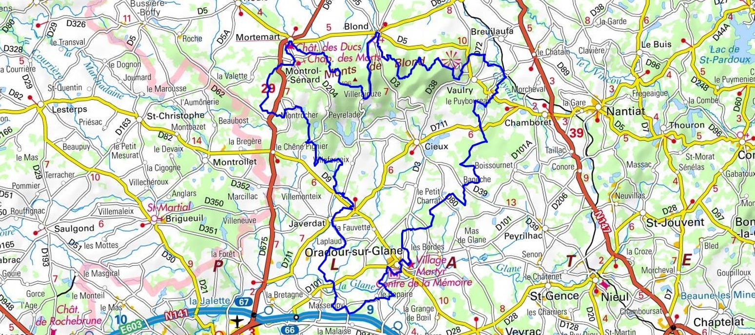
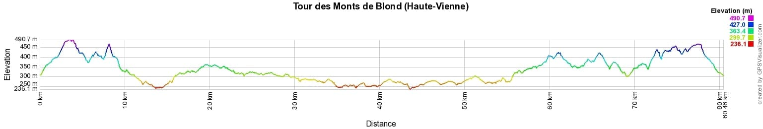
 Distance: 80km, Elevation maximum: 495m, Elevation minimum: 236m, Elevation gain uphill: 1237m
IGN Maps: Oradour-sur-Glane (1930E). Nantiat (2030O).
Nearby paths:
![]() It is advisable to follow the beacons all along your hike and to bring the FFRandonnée topo-guide. You will also find information on MonGR.fr.
It is advisable to follow the beacons all along your hike and to bring the FFRandonnée topo-guide. You will also find information on MonGR.fr.
GR®, PR®, GRP® and the corresponding markings are trademarks of the French Federation of Hiking. They may not be reproduced without permission. The French Federation of Hiking, state-approved, includes organizations that maintain hiking routes. It publishes guides for these routes. With your donations, support the actions of the thousands of volunteer markers of the FFRandonnée.
GR-Infos.com is an editorial partner of MonGR.fr.
| Return |

Former holiday hotel with a garden along the Allier, L'Etoile Guest House is located in La Bastide-Puylaurent between Lozere, Ardeche, and the Cevennes in the mountains of Southern France. At the crossroads of GR®7, GR®70 Stevenson Path, GR®72, GR®700 Regordane Way, GR®470 Allier River springs and gorges, GRP® Cevenol, Ardechoise Mountains, Margeride. Numerous loop trails for hiking and one-day biking excursions. Ideal for a relaxing and hiking getaway.
Copyright©gr-infos.com (Authorization for private use only)
To help us maintain and improve GR-Infos.com, a contribution of 2€ is desired via Wero or bank transfer. Thank you!