
|
|
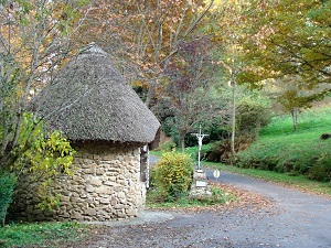
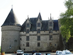
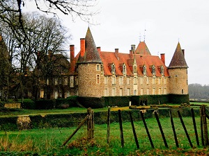
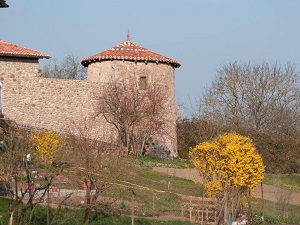
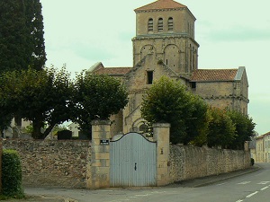
Hike on the GR®48 through Haute-Vienne, Charente and Vienne department from La Ribiere to L'Isle-Jourdain via Le Grand Vedeix, Saint-Auvent, La Chassagne, Rochechouart, Longeas, Pressignac, Puymis, Chez Gensac, Les Monts, Manot, Le Buisson, Ansac-sur-Vienne, Confolens, La Grange Patureau, Perissac, Le Marnier, Chaume, Millac and La Roche. Gite d'Etapes d'etapes, Guest house, Shelters, Hotels, Camping, Inns de Jeunesse. |
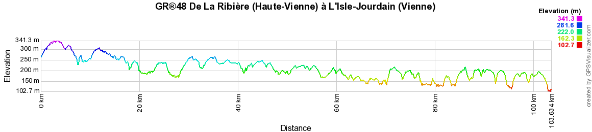
104km

|
 © GPX Private use only |
Distance: 104km, Elevation maximum: 345m, Elevation minimum: 101m, Elevation gain uphill: 1347m
IGN Maps: Rochechouart - 1931O. Limoges - 2031E. Saint-Junien - 1931E. Exideuil (Charente) - 1831E. Confolens - 1830E. L'Isle-Jourdain (Vienne) - 1829E.
|
GR®48 From La Ribiere (Haute-Vienne) to Chinon (Indre-et-Loire)
From La Ribiere (Haute-Vienne) to Isle-Jourdain (Vienne)
From Isle-Jourdain to Angles-sur-l'Anglin (Vienne)
From Angles-sur-l'Anglin (Vienne) to Chinon (Indre-et-Loire)
![]() It is advisable to follow the beacons all along your hike and to bring you the FFRandonnee topo-guide. You
will also find information on MonGR.fr.
It is advisable to follow the beacons all along your hike and to bring you the FFRandonnee topo-guide. You
will also find information on MonGR.fr.
GR®, PR®, GRP®, and the corresponding signs of markings (white / red, yellow and yellow / red) are trademarks of the French Federation of Hiking. They may not be reproduced without permission. The French Federation of Hiking, state-approved, includes organizations that create and maintain hiking routes on GR®, PR® and GRP®. It publishes guides these topo hiking routes. With your donations, support the actions of the thousands of volunteer markers of the FFRandonnee.
GR-Infos.com is an editorial partner of MonGR.fr.

| Return |

Former holiday hotel with a garden along the Allier, L'Etoile Guest House is located in La Bastide-Puylaurent between Lozere, Ardeche, and the Cevennes in the mountains of Southern France. At the crossroads of GR®7, GR®70 Stevenson Path, GR®72, GR®700 Regordane Way, GR®470 Allier River springs and gorges, GRP® Cevenol, Ardechoise Mountains, Margeride. Numerous loop trails for hiking and one-day biking excursions. Ideal for a relaxing and hiking getaway.
Copyright©gr-infos.com (Authorization for private use only)