|
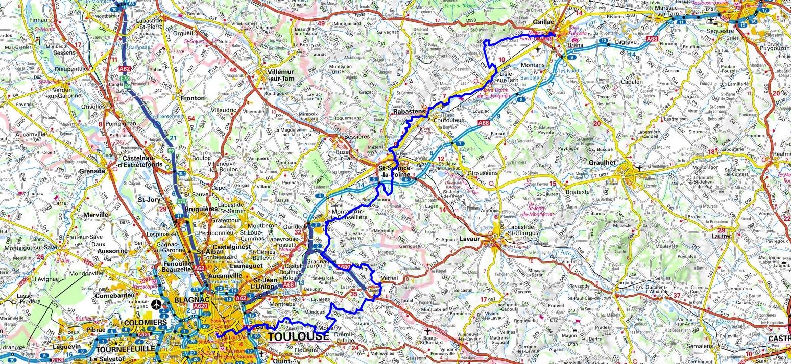
Hike on the GR®46 through Tarn and Haute-Garonne department from Gaillac to Toulouse via Les Balitrans, Saurs, La Roussario, Bories Vieilles, Bessede, Ladin, Les Combes, Saint-Martin de Mours, Rabastens, Mezens, Saint-Sulpice-la-Pointe, La Gazanne Haute, Roqueseriere, Tabois, Montastruc-la-Conseillere, Gragnague, Verfeil and Mons. Guest House, Bed and Breakfast, Hotel, Camping, Shelter, Inn, Shops.
|

|

GR®46
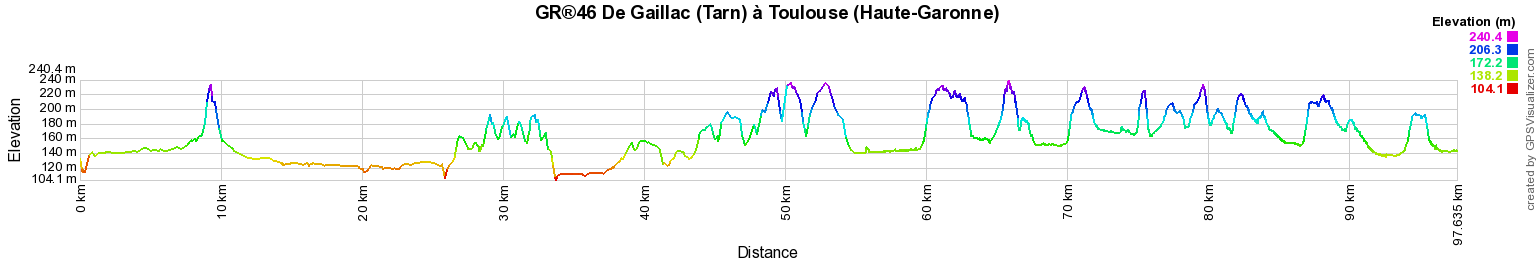
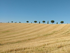
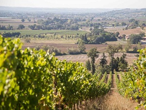
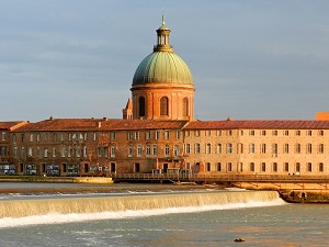
From Gaillac (Tarn) to Toulouse (Haute-Garonne)
97Km
Google Maps - Google Earth

© GPX Private use only |
Distance: 97km, Elevation maximum: 240m, Elevation minimum: 103m, Elevation gain uphill: 1219m
IGN Maps: Gaillac - 2242O. Montastruc-La-Conseillere - 2143E. Rabastens - 2142E. Toulouse Foret de Bouconne - 2043ET.
Registration
Accommodation or business owner on or near a GR®, you can appear on GR-INFOS
For your registration, you can send me by email (papadimitriou4@gmail.com): your address and phone number, your website (Facebook page), a brief description with 5 beautiful photos of your establishment.
Registration price : 50€/2 years or 100€/5 years per GR® or GRP®. Renewable. |
GR®46 From Tours (Indre-et-Loire) to Toulouse (Haute-Garonne)
From Tours (Indre-et-Loire) to Buzancais (Indre)
From Buzancais to Perassay (Indre)
From Perassay (Indre) to Saint-Pardoux-le-Neuf (Creuse)
From Saint-Pardoux-le-Neuf (Creuse) to La Mechaussie (Correze)
From La Mechaussie (Correze) to Rocamadour (Lot)
From Rocamadour (Lot) to Saint-Projet (Tarn and Garonne)
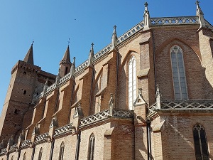
From Saint-Projet (Tarn and Garonne) to Gaillac (Tarn)
From Gaillac (Tarn) to Toulouse (Haute-Garonne)
 It is advisable to follow the beacons all along your hike and to bring you the FFRandonnee topo-guide. You
will also find information on MonGR.fr.
It is advisable to follow the beacons all along your hike and to bring you the FFRandonnee topo-guide. You
will also find information on MonGR.fr.
GR®, PR®, GRP®, and the corresponding signs of markings (white / red, yellow and yellow / red) are trademarks of the French
Federation of Hiking. They may not be reproduced without permission. The French Federation of Hiking, state-approved, includes organizations that create and maintain hiking routes on GR®, PR® and
GRP®. It publishes guides these topo hiking routes.
With your donations, support the actions of the thousands of volunteer markers of the FFRandonnee.
GR-Infos.com is an editorial partner of MonGR.fr.

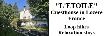
Former holiday hotel with a garden along the Allier, L'Etoile Guest House is located in La Bastide-Puylaurent between Lozere, Ardeche, and the Cevennes in the mountains of Southern France. At the crossroads of GR®7, GR®70 Stevenson Path, GR®72, GR®700 Regordane Way, GR®470 Allier River springs and gorges, GRP® Cevenol, Ardechoise Mountains, Margeride. Numerous loop trails for hiking and one-day biking excursions. Ideal for a relaxing and hiking getaway.
Copyright©gr-infos.com (Authorization for private use only)