|
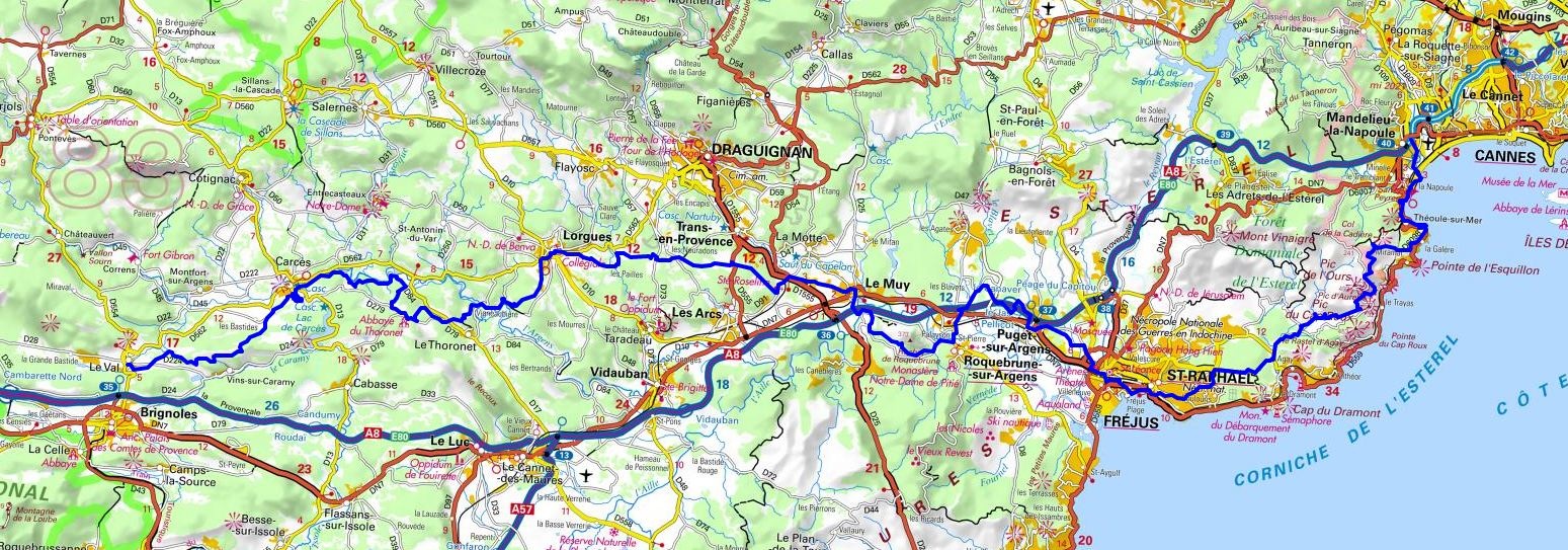
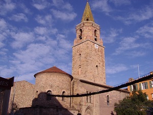
Hike on the GR®653A Via Aurelia towards Santiago de Compostela through Alpes-Maritimes and Var department from Mandelieu-la-Napoule to Le Val via Theoule-sur-Mer, Boulouris-sur-Mer, Saint-Raphael, Frejus, Les Vernedes, Puget-sur-Argens, Les Arquets, Saint-Barthelemy, Le Muy, Sainte-Roseline, Les Suous, Selves des Arcs, Le Fabregue, Les Pailles, Lorgues, L'Adrech de Pommeret, Le Rocher de Madame, Le Thoronet, Les Camails, Sainte-Croix, Notre Dame, Carces and Les Machottes. Guest House, Bed and Breakfast, Hotel, Camping, Shelter, Inn, Shops.
|

|

GR®653A
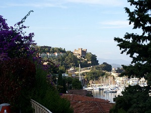
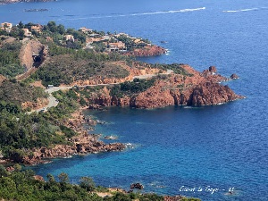
From Mandelieu-la-Napoule (Alpes-Maritimes) to Le Val (Var)
Via Aurelia
Way of St. James - Santiago de Compostela
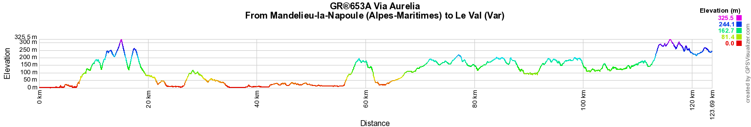
124km
Google Maps - Google Earth

© GPX Private use only |
Distance: 123,98km, Elevation maximum: 323m, Elevation minimum: 0m, Elevation gain uphill: 2058m
IGN Maps: Aups-Salernes - 3443OT. Brignoles Le Luc Lac de Carces - 3444OT. Frejus Saint-Raphael Corniche de l'Esterel - 3544ET. Le Muy Lorgues Montagne de Roquebrune Massif des Maures - 3544OT. Cannes Grasse Cote d'Azur - 3643ET.

Registration
Accommodation or business owner on or near a GR®, you can appear on GR-INFOS
For your registration, you can send me by email (papadimitriou4@gmail.com): your address and phone number, your website (Facebook page), a brief description with 5 beautiful photos of your establishment.
Registration price : € 100 per GR® or GRP® for 5 years. Renewable. |
GR®653A Via Aurelia
From Menton to Mandelieu-la-Napoule (Alpes-Maritimes)
From Mandelieu-la-Napoule (Alpes-Maritimes) to Le Val (Var)
From Le Val (Var) to Eguilles (Bouches-du-Rhone)
From Eguilles to Arles (Bouches-du-Rhone)
 It is advisable to follow the beacons all along your hike and to bring you the FFRandonnee topo-guide. You
will also find information on MonGR.fr.
It is advisable to follow the beacons all along your hike and to bring you the FFRandonnee topo-guide. You
will also find information on MonGR.fr.
GR®, PR®, GRP®, and the corresponding signs of markings (white / red, yellow and yellow / red) are trademarks of the French
Federation of Hiking. They may not be reproduced without permission. The French Federation of Hiking, state-approved, includes organizations that create and maintain hiking routes on GR®, PR® and
GRP®. It publishes guides these topo hiking routes.
With your donations, support the actions of the thousands of volunteer markers of the FFRandonnee.
GR-Infos.com is an editorial partner of MonGR.fr.
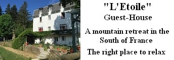
Old romantic Hotel, L'Etoile Guest-House is a mountain retreat
in the South of France. With a beautiful park along the Allier River, L'Etoile Guesthouse is located in La Bastide-Puylaurent between Lozere, Ardeche and Cevennes. Many hiking
trails like GR®7, GR®70 Stevenson trail, GR®72, GR®700 Regordane way, Cevenol, GR®470 Allier River Springs and Gorges, Margeride, Ardechoise. Many hiking loops. The
right place to relax.
Copyright©gr-infos.com (Authorization for private use only)